
|
Omaha Heritage & Culturefest Center www.omahaculturefest.org Founded March 30, 2002 |

Route from Downtown to 19th St.
Class 1 and Class 3 Riders depart from Downtown at
17th & St. Mary's Avenue in front of the Sheraton Hotel
at 0730 hrs. Route proceeds north on 19th St.
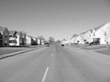
19th St. Looking North

19th Street turns into Florence Blvd.
Map of Florence Blvd.
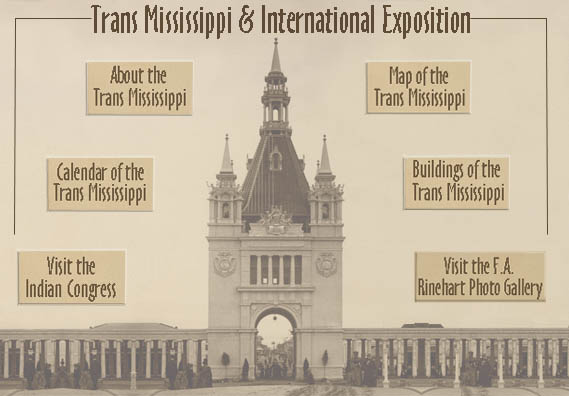 Overhead Map of the Trans Mississippi Exposition Grounds - 1898
Aerial pictorial of the TME gounds - Omaha, NE - 1898
Riders will detour one block off of Florence Blvd. to reach our First Rest Stop at Omaha's Best Kept Golfing Haven Secret- Miller Park.
Riders will continue up Minne Lusa Blvd. reconnecting with Florence Blvd. at the Viaduct shown below.
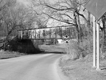
Follow Florence Blvd. under the viaduct and turn left on to John Pershing Dr.

A Short Bio of General John Pershing
 Follow John Pershing Dr. to the foot of Mormon Bridge and turn left (West)on Dick Collins Road heading toward Florence Mill. The Second Rest Stop at Florence Depot across the street from the Florence Mill

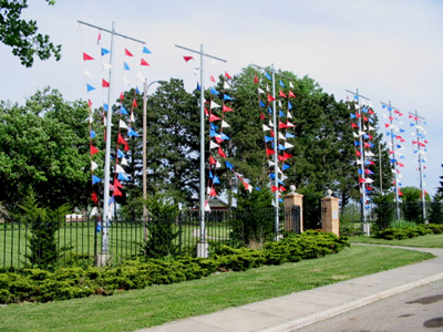
Class 3 (U-Pick 12-24 mile) riders may continue on J. Pershing Dr. beneath the Mormon Bridge
to stop in at Dodge Park or continue on to the intersection of
Ponca Road and John Pershing Dr.
Near there you will see the site of J. Pierre Cabann�'s Fur Trading Post and Ft. Lisa.
Other riders should see the return route to Carter Lake and the Hotshops.
Class 1 riders continue west on McKinley Ave. to Hwy 75. Proceed North up a challenging hill via Hwy 75.
Note: there are at least two one-mile inclines as you climb Hwy. 75. The picture below shows how the hills level out.
Route Hwy 75 to Ft. Calhoun
More Detailed Route Showing Ponca Hills

ETA for Class 1 riders is 0930 hrs.
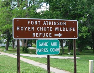 As you arrive in Ft. Calhoun, turn right (going East) on Mason St.,
Ft. Atkinson is just a few blocks ahead. Otherwise, you may want to stop in
at one of Ft. Calhoun's great roadside cafes.
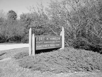

Class 2 riders should note that the Park is open 0830-1900 hrs.
You may enter the park with a motor vehicle to obtain a park permit (1-day; 3-day; one-year at $14. That is a bargain!).
PLEASE NOTE: You may not park you vehicle in the park unless you have a permit. No permit is needed to
explore the Fort roads on a bike. There are no mountain bike trails in the park. Visit the park during scheduled summer activities.
More Scenic and Historical Links on Ft. Atkinson, NE
Overhead Map of Ft. Atkinson
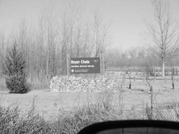
Boyer Chute may be explored by bicycle; however, the nature trail is best explored by foot. Cty Rd. 34 is 50% limestone gravel East of Cty. Rd. P51. Head to the North Parking lot and view where Boyer Chute branches off of the Missouri River. This will add 3-7 miles to your trip.
National Wildlife Refuge Map of Boyer Chute
Boyer Chute National Wildlife Refuge
This Route was selected especially for riders with touring, hybrid, or mountain bikes. Riders with these bikes may enjoy the most the options of starting from Ft. Atkinson around 0915 hrs., visit Boyer Chute, and returning via Cty. Rd. P51. Riders who take this route will experience approximately 6-9 miles of limestone gravel. The gravel ends at the Washington-Douglas County Line. See the Map of Routes through Ponca Hills below. This road may be dusty depending on weather.
Map of Routes thru Ponca Hills and J. Pershing Drive
Note: Coming from the North via North River Dr., it will be easy to miss the turn-off on White Deer Lane to Neal Woods. Also note that the hill in quite steep and the incline is long. The air cools rapidly as you drop down into the valley below the bluffs. We expect most Class 2 riders to continue on N. River Dr and by-pass Neale Woods.
John Pershing Dr. begins at the intersection of Ponca Rd. (Class I), and North River Dr. (Class 2 Routes).
Notes about Manuel Lisa and Ft. Lisa
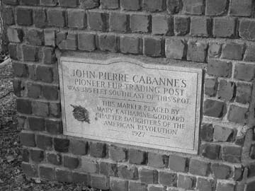
Jean Pierre Cabanne' Trading Post
From this point on the return route is the same as the route out. Follow J. Pershing Dr.
and watch for the viaduct that leads to Florence Blvd. Follow Florence Blvd. and look for
the first left after crossing Sorenson Expressway and head towards Carter Lake.

Visit the newest art gallery on the North side. See master craftsmen at work.
 Route From Carter Lake to Hot Shops - Nicholas St. Gallery
This leg takes you down 16th St. to the Double Tree Hotel on Capitol Ave. Take Capitol Ave. East down past the New Omaha World Herald Bldgs. to 8th St.
Route through Old Market and Finish at Sheraton Hotel
Go under the Dodge St. Bridge and past Heartland of America Park and arrive at 10th & Farnam St. at the Steps of the ConAgra Campus. Head South (Left) down 10th St. past Mr. Toads and the Embassy Suites to Jackson St. Turn West (Right) on Jackson going past Upstream Brewery, Ted & Wally's Homemade Icecream Parlor, and Cubby's Old Market Grocery.
Turn Right on 13th St. and move up to Howard St. The asphalt is smooth to the finish line.
WHAT A RIDE! WHAT A FINISH!